



The third Congress in Geomatics Engineering aims to bring together scientists, academics and PhD students to exchange and share their results of research and innovation related to any Geomatics discipline. It offers a first-class interdisciplinary platform to present and discuss the innovations, trends, concerns, challenges and solutions adopted in the different fields of Geomatics.
This biennial Congress is born within the framework provided by the Interuniversity PhD program in Geomatics Engineering by the Universidad Politécnica de Valencia and the Universidad Politécnica de Madrid.
The first step will be to present an abstract (within the submission platform) of the work to be presented. All participants whose abstract is accepted should prepare their work as articles of 5 to 10 pages following the format that is detailed in the following link (download template), where they can present the progress of their research and the obtained results. These articles will be freely available on the congress website and will be protected with the corresponding ISBN (for the proceedings book that will contain the articles) and doi for each particular contribution.
All presentations will be oral, either in streaming or prerecorded. In any case, the author must be available on-line to answer any possible question.
Thus, each of the contributions must deliver the corresponding article and, on a voluntary basis, the corresponding presentation (oral or poster), which will also be posted on the congress website.
It is mandatory to send the authorization of rights with the original signature OF EACH OF THE AUTHORS as a complementary material in the submission process.
Any scientific work related to Geomatics Engineering can be presented at the congress. In particular, research related to any of the thematic areas of the PhD programme will be adequate:
Important Dates
Abstracts submission: from December 15, 2020 to February 1, 2021.
Acceptance of the abstract: until February 15, 2021.
Full article submission in the correct format: from February 15 to May 15, 2021. Only those articles that meet the requirements will be eligible for inclusion in the proceedings book.
Fees
PhD Students undertaken a Doctoral Programme, 45 euros.
Other attendees, 75 euros.
Each contribution will require, at least, one of the participants to be registered before June 1, 2021.
Cancellation Policy: 100% until June 1st and 50% as of June 1st.
Programme
You can download the programme here
You can download the CONFERENCE PAPERS BOOK here
| Wednesday 7th of July | |
|---|---|
| 09:00-09:30 | CONGRESS OPENING |
| 09:30-10:15 |
OPENING KEYNOTE: Luis Guanter Palomar |
| 10:15-10:30 | BREAK |
| 10:30-12:00 | SESSION 1 |
| 12:00-12:15 | BREAK |
| 12:15-13:30 | SESSION 2 |
| 13:30-14:30 | BREAK |
| 14:30-15:45 | SESSION 3 |
| 15:45-16:00 | BREAK |
| 16:00-17:15 | SESSION 4 |
| Thursday 8th of July | |
|---|---|
| 09:00-09:45 |
INVITED KEYNOTE: Vicente Navarro Ferreruela |
| 09:45-11:15 | SESSION 5 AND SESSION 6 |
| 11:15-11:30 | BREAK |
| 11:30-13:00 | SESSION 7 |
| 13:00-14:00 | BREAK |
| 14:00-15:15 | SESSION 8 |
| 15:10-15:45 | CLOSING REMARKS |
Keynote Speakers

Luis Guanter is Professor of Applied Physics at the UPV and a PhD in Physics from the University of Valencia. After various post-doctoral positions in Germany and England, between 2014 and 2019 he was Head of the Remote Sensing Section of GFZ Potsdam, Professor of Remote Sensing at the Universität Potsdam and Principal Investigator of the EnMAP satellite mission. In March 2019 he joined the UPV through the Talent Attraction Plan, where he is a professor at the Higher Technical School of Telecommunication Engineering (ETSIT-UPV) and at the Higher Technical School of Agricultural and Natural Environment Engineering (ETSIAMN-UPV). Since September 2020, his group has been part of the Institute of Water and Environmental Engineering (IIAMA). Within the IIAMA, he leads the research group on Terrestrial and Atmospheric Remote Sensing LARS (Land and Atmosphere Remote Sensing). His research focuses on the development of new methods for monitoring the earth's surface and atmosphere from satellite, with a focus on environmental and climate change analysis. He is the author of more than 100 scientific publications and has been included in the list of most cited scientists in the world since 2019.
Methane (CH4) is a greenhouse gas with a much higher warming potential than carbon dioxide. CH4 has both natural and anthropogenic sources. Within anthropogenic sources, industrial emissions represent a substantial contribution to total emissions. Industrial emissions are mainly associated with activities related to the extraction of crude and natural gas from the subsoil, often due to infrastructure failures. Due to the great intensity of these sources, their detection and elimination allow effective action against climate change. For this, satellite data capable of detecting emissions anywhere in the world are a fundamental tool. This presentation will provide a general review of remote sensing of point methane emissions from satellites, which includes missions such as Sentinel-5P, Sentinel-2, Landsat and new hyperspectral missions. Measurement methods will be explained and examples obtained from different world regions will be given.
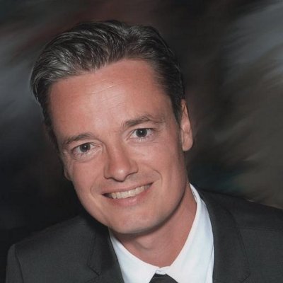
Vicente Navarro is a Systems Engineer in GNSS Data Science at the European Space Agency (ESA), where he is responsible for the development and operations of ground segment science systems. He is an expert in the development of infrastructures for the scientific analysis of large amounts of data (Big Data) integrating Artificial Intelligence. Since 2017, he has directed the definition, implementation and consolidation of the GNSS Science Support Center (GSSC) at ESA's European Center for Space Astronomy in Madrid, Spain. Previously, he had been at the forefront of mission critical systems development and operations for satellite control at ESA's European Space Operations Center in Darmstadt, Germany. Vicente is a Computer Engineer and a Diploma of Advanced Studies in Computer Languages and Systems from the University of Zaragoza. Vicente is currently developing his doctoral thesis on the "Application of Crowdsourcing and Big Data technologies for the provision of GNSS scientific exploitation services" in the Geomatics Engineering Doctoral Program of the Univesitat Politècnica de València.
The excellent scientific opportunity represented by global positioning satellite systems (GNSS) has been recognized by the European Space Agency (ESA) with the creation of the Scientific Office for Satellite Navigation. A joint collaboration between the Directorates of Navigation and Science with the aim of advancing in the development and adoption of GNSS systems for future scientific programs. The Scientific Office of Satellite Navigation works in the consolidation of a global scientific community of reference in GNSS, creating synergies for the execution of innovative activities in the area of GNSS science. The GNSS Science Support Center provides access to a wide range of GNSS products and data embedded in a scientific exploitation environment that promotes collaboration and innovation in GNSS fields such as metrology, fundamental physics, and earth or space sciences.
Collaborators






About Valencia
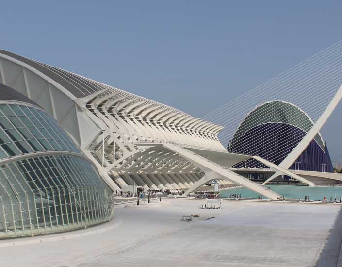
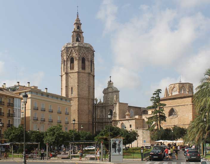
Valencia is a dynamic city, full of culture. Valencia is the third largest city in Spain. It was founded by the Romans and lies on the banks of the river Turia, on the east coast of the Iberian Peninsula, on the Mediterranean Sea. Its rich historic centre is one of the largest in Spain. Major historical monuments include the Llotja de la Seda (a UNESCO World Heritage Site), the Cathedral of Valencia, two towers (Torres de Serranos and Torres de Quart), and the Ciutat de les Arts i les Ciències (City of Arts and Sciences). There are many museums and art galleries. Well recommended are the Institut Valencià d'Art Modern (Valencian Institute of Modern Art) and the Museu de Belles Arts.
For more information about Valencia, please visit:
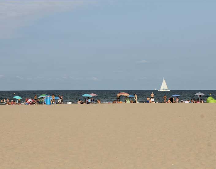
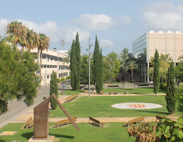
The Universitat Politècnica de València (UPV), Vera Campus, is found close to the beach, just outside of the main city centre.
The conference itself will take place in building 7I and 6G, which can be found on the map of the Vera Campus.
Valencia is the third largest city in Spain, and therefore is easily access by air transport, both low-cost and regular airlines. The airport is well connected to the main city (underground, bus, taxi...), and travellers will have no problem getting to and from Valencia using air transport.
Valencia has both normal and high-speed train lines, and with only 1.5 hours between Valencia and Madrid, it is easily accessible by high-speed train (AVE), allowing travellers to also access to the city through the country's capital.
Valencia is on the main transport networks in Spain, and is easily accessed by car.
| Hotel Silken 4* | http://www.hoteles-silken.com/destinos/valencia |
| Hotel Barceló 4* | https://www.barcelo.com/barcelohotels/es_es/hoteles/espana/valencia/hotel-barcelo-valencia/descripcion-general.aspx |
| Hotel NH Ciudad de Valencia 3* | http://www.nh-hoteles.es/hotel/nh-ciudad-de-valencia?dclid=CPSwra3uq8oCFcubFgodKakKOA |
| Hotel Universidades 3* | http://www.hoteluniversidades.com |
| Student Resident Galileo Galilei | http://www.galileogalilei.com |
| Student Resident Damia Bonet | http://www.resa.es/es |
Information for Foreigners Please make sure you have met all the requirements for entry into Spain if you are not a citizen of the European Union.